Project Information:
Processing photos and videos taken from Drone, UAV survey or conventional imaging devices.
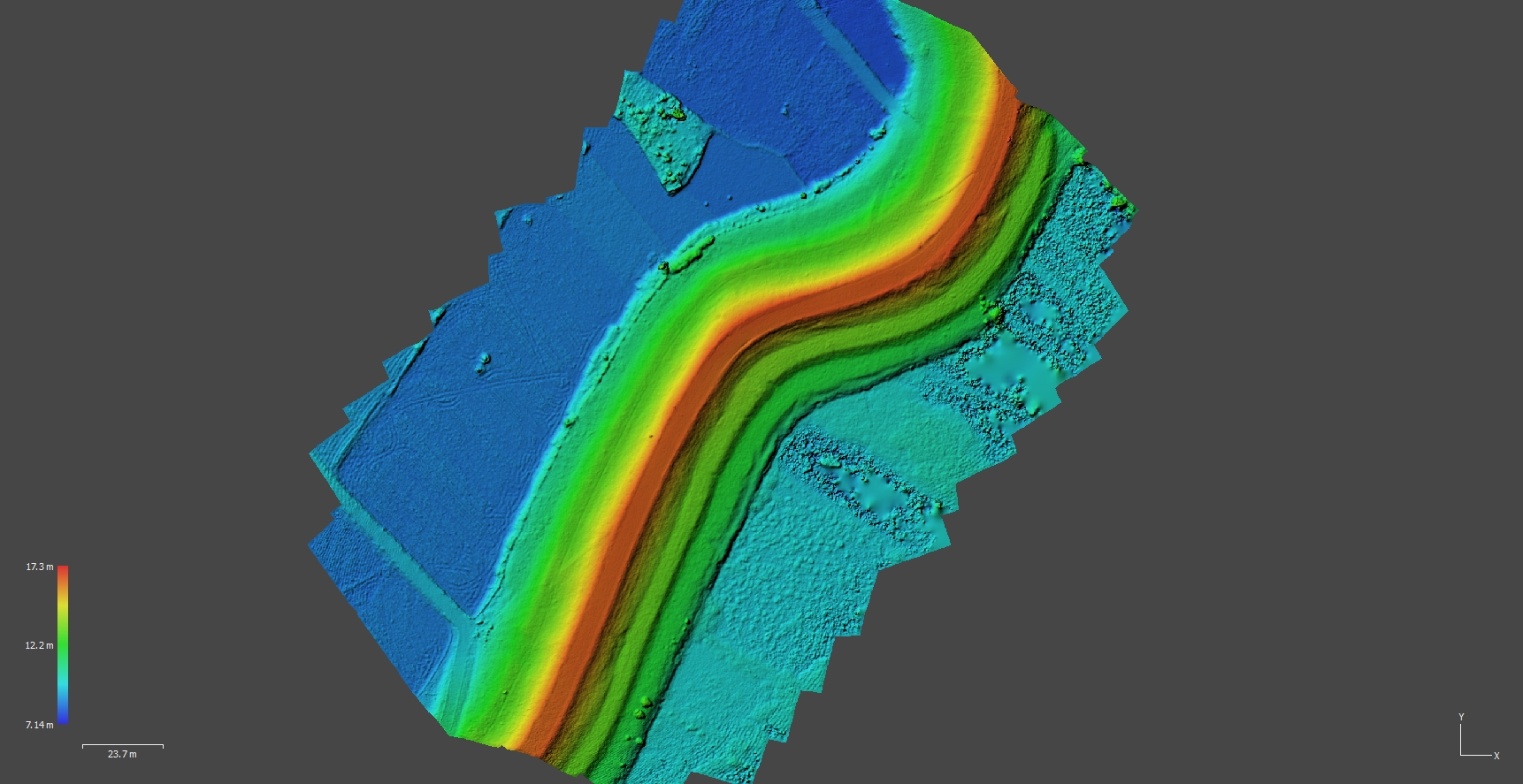
The result is Point cloud, 3D mesh model, DEM (Terrain), Orthophotos.

Processing photos and videos taken from Drone, UAV survey or conventional imaging devices.
The result is Point cloud, 3D mesh model, DEM (Terrain), Orthophotos.